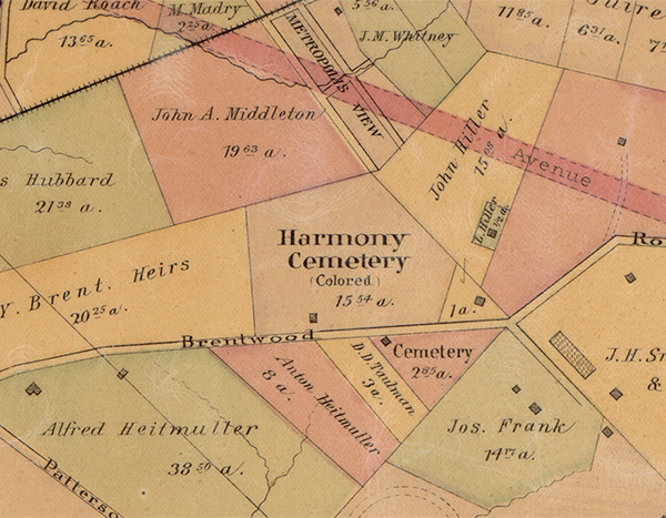
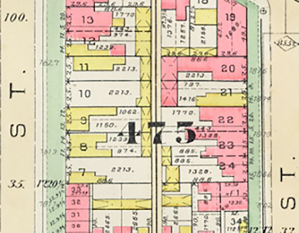
In January 1829, the society purchased from the District government — for the then significant sum of $100 — a 1.3 acre site at the edge of the city limits to create a cemetery for its members. The property was designated as Square 475, and bounded by 5th Street, NW and 6th Street, NW from east to west, and Boundary Street, NW (today’s Florida Avenue) and S Street, NW from north to south. No evidence has been found that the adjacent Squares 475E or 475S were used for burials. Named the Harmoneon, the burial ground was dedicated in September 1829.
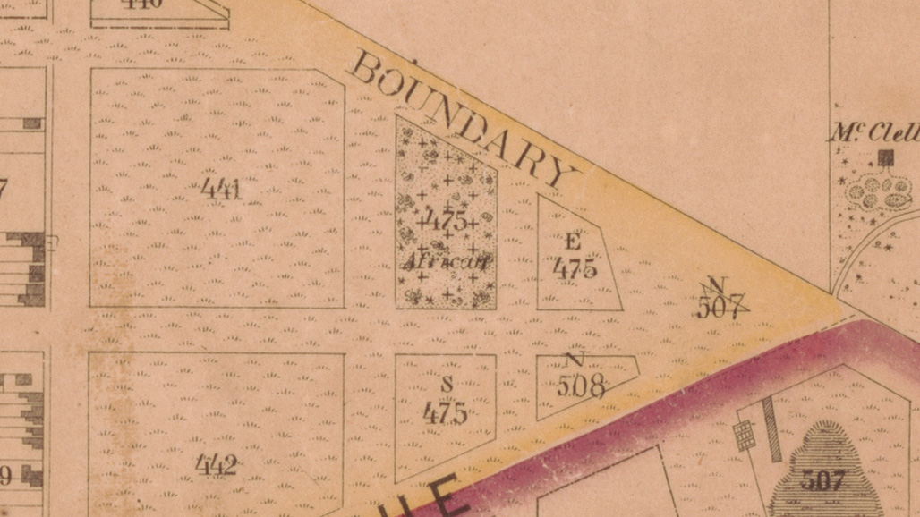
Map of Washington City, District of Columbia, A. Boschke, 1857: Details Showing Harmoneon (African) Cemetery. Library of Congress Geography and Map Division, Washington, DC.
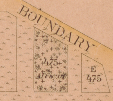
Boundary Street was the northernmost border of the city of Washington, beyond which lay Washington County, as the District of Columbia outside of the cities of Georgetown and Washington was known. Other than the Harmoneon, the surrounding blocks were undeveloped as late as 1857. The nearest buildings at the time were on Seventh Street.
Continue Reading
Find out more about the Harmoneon Cemetery by clicking on the articles below: